 |
| View up to Sentinel Peak from Hungry Bill's Ranch |
The Eastern Panamint Mountains are rather barren and hostile to easy living. Every so often, however, is a lush paradise for all weary travelers. The springs in some of these major canyons off West Side road are fairly high yield and can maintain year-long streams in the canyon bottom. Johnson Canyon is one of these canyons.
 |
| Wilson Spring at the end of the road |
Hungry Bill's Ranch is a ghost of its former self, high in the western Panamints and was the largest farm in this part of the desert. It has been occupied by several people over the years, but that will be covered shortly. It provided fresh produce to many people across the valley, most notably the trail over Panamint Pass to Panamint City just ten miles from the ranch.
Indian ranching in Death Valley existed from pre-contact times well into the 1920s, and was a major source of income for the local tribe, the Timbsha-Shoshone. This particular site is considered their headquarters and was first described in 1876 by Lieutenant Bernie of the Wheeler Expedition:
 |
| Lots of water at Wilson Spring |
The first portion of the descent to Death Valley by trail was very steep. In the can[y]on through which we passed grass and a short running stream were found, also a small cultivated piece of ground where vegetables were raised with facility by irrigation.
An 1896 surveyor noted similarly:
 |
| Looking over Wilson Spring |
Just over the summit, and southeast of Panamint, was "Johnson's garden" in the flush days of the rise and before the fall of Panamint. Here Indians Pete and George [Hansen?] are cultivating four or five acres of land. With immense labor they have cleared away the surface rocks, building huge walls for fences, and irrigating ditches from the large springs. March 31st alfalfa was four to six inches high: The grapevines hanging over a framework of poles, showed formed grapes in the verdure and the peaches appeared half formed. In their larder was found fine varieties of beans, wheat and corn. On the hillside George has graded away a large space, and has material on hand for a regular house.
Johnson's Canyon has seen several agricultural parties over the years, one Johnson being the namesake of the canyon, and indian Hungry Bill being the namesake of the ranch. A 1910 pair of men were shown around the valley to Hungry Bill's Ranch:
From Skibo [near Lee, Ca.] we visited the Furnace Creek ranch, and it is certainly a garden spot at this time of the year. We traveled as far south as Bennett's wells in Death Valley and were escorted from Furnace Creek to what is known as Hungry Bill's ranch by Indian Bob Thompson. Hungry Bill being an Indian, and one that does not understand English, impressed me in several ways; one in particular was the energy he possesses. His place might well be called the western base of Telescope Peak, and here he and his family have lived for perhaps thirty years. He has about fifty fruit trees that bear splendid fruit in July. He raises grapes, potatoes, corn, peas and beans, and the ranch is not of ordinary Indian type. It shows evidence of being kept up.
Many of these trees and vines still live and bear fruit at the right time of year, mainly the figs and grapes, and in 1907 Hungry Bill and his family applied for a federal homestead in Johnson Canyon. It was approved and patented after Bills 1908 death in 1927 and his family lived there until 1953 when the land was sold and exchanged into NPS hands.
Today the evidence of Hungry Bill is great throughout the whole canyon, mostly in the form of hand-built stone walls weaving for miles through the mountains and grapevines that have spread over the course of the stream far down the canyon. In several places fig trees grow and drop fruit, and terraces and fences are everywhere in the main camp. The trail up to the ranch starts at the end of the road; Wilson Spring. Roughly two miles up canyon is the ranch. The trail is easy walking, but not to be taken lightly in this desert. There are several stream crossings and the amount of water is astonishing for this area, and its no wonder why there was a farm here.
 |
| Along the canyon are three arrastras for milling gold. |
There was a time when there were free-milling gold claims in the upper canyon that sprouted up at various times, and the area saw additional activity during the Skidoo boom.
 |
| Cool strata along the trail. |
 |
| Its a really scenic canyon with a lot of vegetation in the bottom. |
 |
| The second arrastra has a bunch of stonework around it. |
 |
| Looking down at the first wall in the canyon bottom. |
 |
| This is the one tricky spot on the trail, slippery and exposed. |
 |
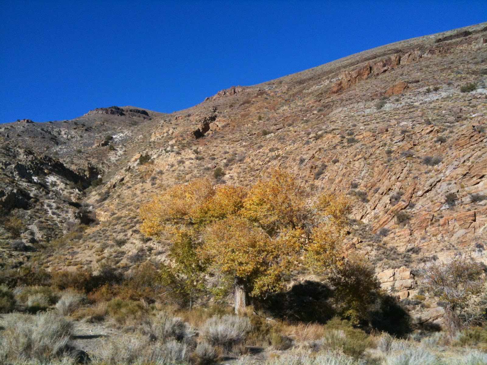
This could certainly be in some of Nevada's mountains, and seems
out of place for such a dry environment. |
 |
| More walls |
 |
| The ranch is the area of trees in the center of frame. |
 |
| Reaching the ranch, one encounters this wooden fence and gate. to the right is a large stone corral. |
 |
| Really cool hand-stacked rock walls. |
 |
| Remnants of past occupation |
 |
| Large fig tree |
 |
| Trees |
 |
| I always thought this looked like a gate to a fantasy land. |
 |
| Looking down on the lush vegetation. |


1 comment:
I'm pretty sure that I've never heard of this spot before. It looks very interesting.
Post a Comment